Inveterate dabbler in business, travel, gadgets & life

Day 6 Le Cateau-Cambresi to Reims

Today was a 84 miler and done rather effortlessly, obviously a bottle of fine Brouilly the night before does the trick!

The breakfast was truly magnificent reminding me a bit of Maggies in Ireland with the bike fully loaded, chain freshly oiled, and the Gaia app fully primed I made good time and was surprised how easy the hills felt today. The Highland cemetery was terribly poignant with its commanding views.

Harvesting in full swing over hereThe harvest is in full swing reminding everyone why the school holidays are in August, with everyone who is  able driving tractors, enormous grain trucks (always in pairs) combines etc etc. How folks managed before diesel is anyones guess.

The Gaia app worked perfectly and for the first time the road signs made sense, although I’m sure my translation of the names would be of no use to a Frenchman! but very good at training my short term memory. It’s particularly good at scaling the map allowing you to gauge the size of towns very easily.

I arrived in Reims through the back door of industry bio refineries and down market shopping centres (last time I came in through endless grapes).

The Strava stats for the day are her:-
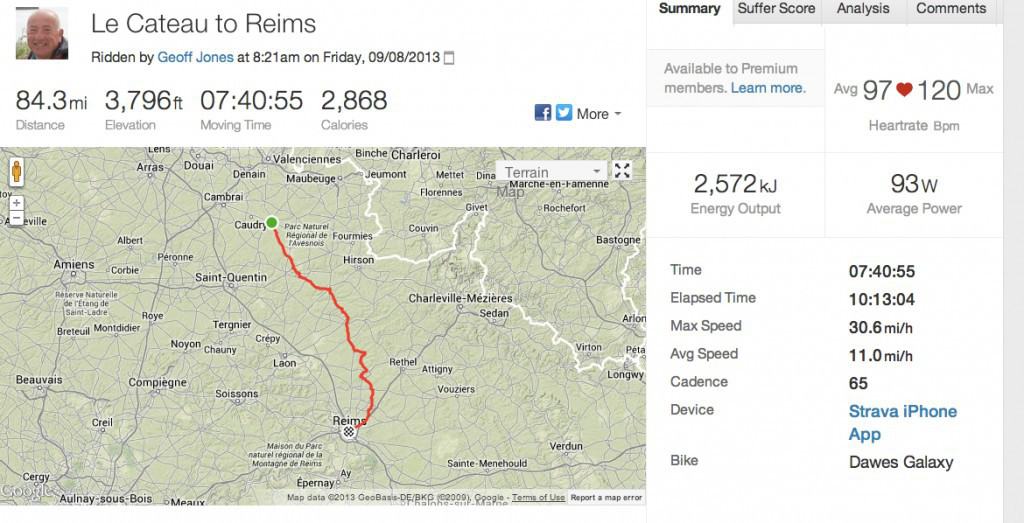
Strava_Ride___Le_Cateau_to_Reims


The pics are here

Day 5 Something has to go!

Something has to go on this mega bike trip. It’s either or:-

  • The Panniers
  • The Viewranger app
  • or me
IMG_3199
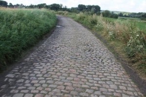
To think the Tour de France rode on these!

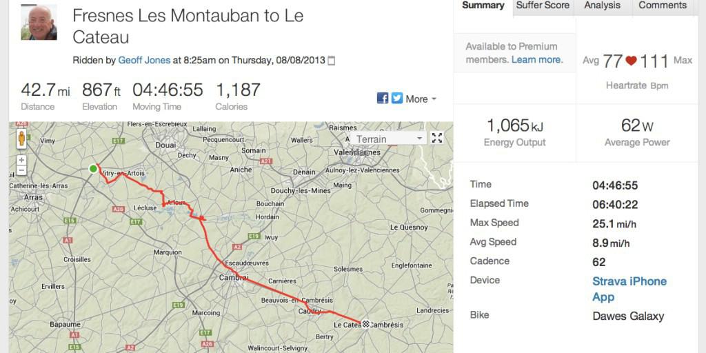
Today, Fresnes Les Montauban – Le Cateau-Cambresi was really tough even though it was a fine day weather wise, my carefully planned Viewranger route was rubbish, no way of telling if the ‘road’ is a track, what the distance is, what the village name is etc etc. I ended up with the artics again plus riding through endless  cafe less villages but all well endowed with Aldi & Lidl’s 🙁

I have ended up at Le Cateau-Cambresi birthplace of Matisse, although what he would make of mega combines & tractors, I’m not sure. The hotel & restaurant Des Digues is superb and with a bottle of Brouilly inside me the world seems somewhat cheerier.

I have now created a route to Rheims using the Gaia app it tells me it is 78 miles so I will be very lucky to make it. The user interface is much better and more natural than Viewranger, so it will be interesting.

Todays 43.3 miles ride is on Strava here:

Strava_Ride___Fresnes_Les_Montauban_to_Le_Cateau


The pics are here

As for the panniers – they are catching the first boat home 🙂


Day 5 Gonnehem to Fresnes Les Montauban

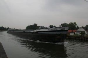
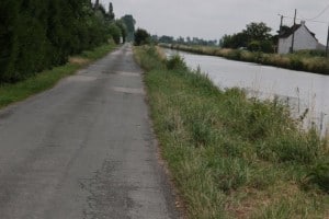
IMG_3180With great reluctance I departed from  Le Clos du Fouan  into the grey & wet morning. I headed back down to the canal, marvelling at the size of the barges, probably equivalent to half a dozen UK ones also on the distance between locks, this part of France is certainly flat. I left the canal at La Bassèe had a cake and coffee and then headed into the French road system. My carefully constructed route on Viewranger quickly turned to shambles when confronted by strictly no cycling signs and huge artics squeezing past. I hastily made another route which interestingly took me through all the ex mining village’s & distinctive conical pit tips.

I tried to repeat last nights success using @aroundme all it came with is the L’Aquarium Hotel with it’s closed restaurant,  this poor motel styled hotel is rather cut off by a motorway, high speed train track and a dual carriageway. But once you have navigated in it’s clean with good showers.

I’ve spent the evening using Viewranger to edit tomorrows route using the Bing aerial photos as a background so I can physically see the towpaths, fields and absence of bridges.

Legs are starting to loosen up and Sally’s pressie of Endura overshoes certainly came in very handy preventing wet feet, until google maps had me going down farm tracks with deep puddles 🙁

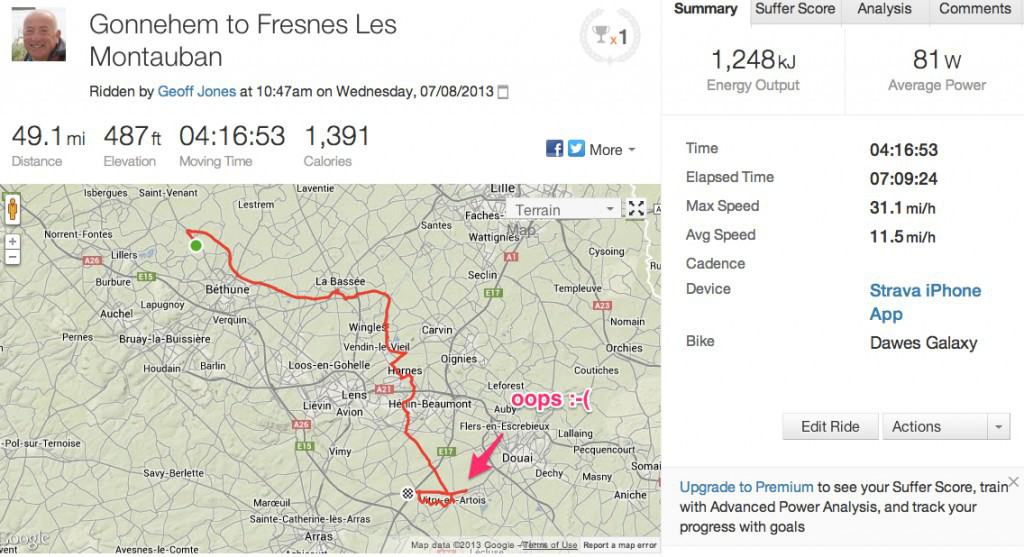
Here is the Strava result for the day:

Strava_Ride___Gonnehem_to_Fresnes_Les_Montauban

A short day of 49 miles of which 9 were messing about trying to find the hotel, incorrectly shown on Aroundme but correct on Google Maps.

The pics are here today.

Day 4 Calais to Gonnehem

After a dreadful nights sleep, what with the squawking seagulls (please remind me never to live near the sea!) and plumbing noises. It was straight off to SFR to sort out the bricked dongle. They eventually replaced it after everyone inspected it like some dead animal.

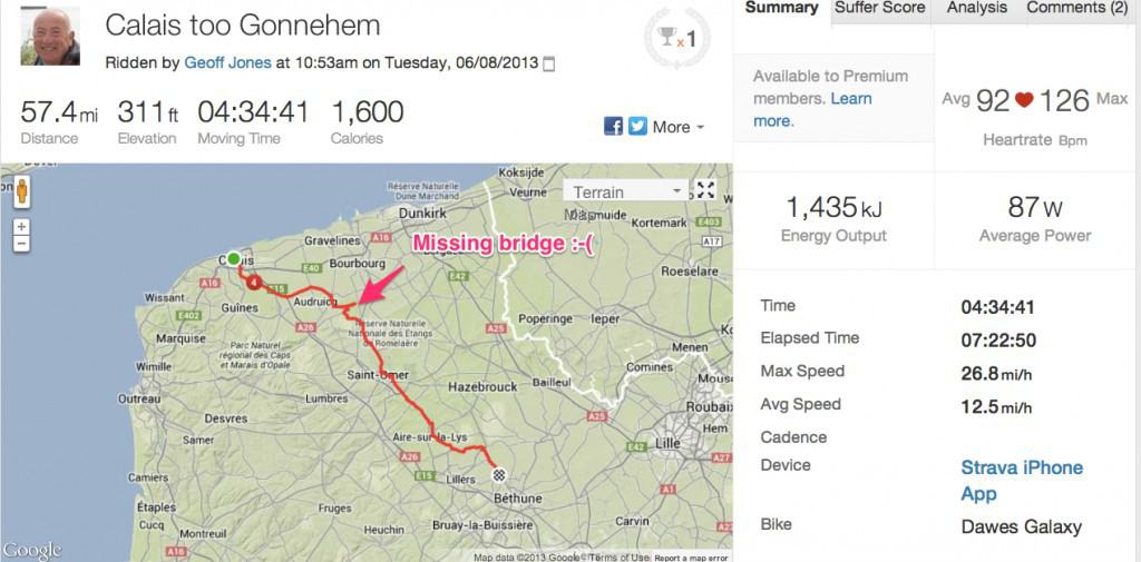
IMG_3160I started to follow the rather magnificent canal although it’s quite tiring making sure you are on the correct side and that the canal is going the correct way, you can see from the Strava data I failed at one point getting stuck in a Y junction.  I finally made it, very tired & down to Watten for a slap up lunch. Debating to myself whether just to let a train take the strain. Google maps failed again in the afternoon where the canal path was just not there!  making me use a main road in a procession of artics.

The iPhone app AroundMe came up trumps however with the gite for tonight. Le Clos du Fouan is excellent with a shower I could happily unscrew and take back to Cambridge except of cause Cambridge water is very hard. Unfortunately the local restaurant is closed Monday nights so it was off to Clarisse’s chippie wagon.

Another 57.5 miles done. Unfortunately the cadence meter seems to have packed up 🙁 but here is the Strava data:-

Strava_Ride___Calais_too_Gonnehem-2

The day photographs are here