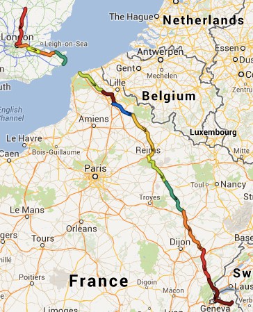
Using the Adze programme I stitched together all the GPS trails for my ride to Les Gets. Each day is given a different colour. There are a total of 25,471 points over the 761 miles (about 53 yards apart)
Clicking on the map will download a file that you can open in Google Earth taking you through the route in minute detail.
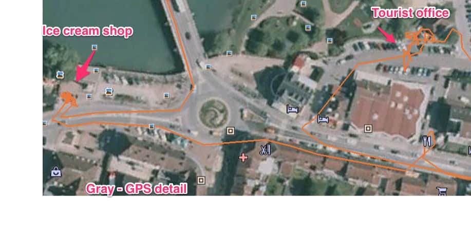
Here is an example taken from Google Earth when I was in Gray, debating whether to stay or carry on.


