
Another great short walk of 13miles , this time ably led by Chris of Newmarket Ramblers. Here is the track with photographs:-
Newmarket Ramblers – Stetchworth Walk
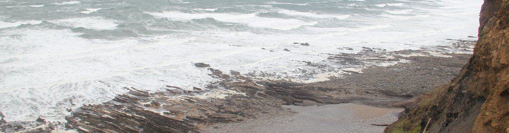
Widget powered by EveryTrail: GPS Geotagging
For anyone interested I’m using the Garmin Etrex Legend HCx. Reading the track stored on the Garmins datacard by using its USB interface attached to XP (I’m using Parallels on the iMac as the Garmin software is PC only)

with the Garmin Mapsource software (6.14.1).
The software allows you to edit the track and shows the track as a crude map to make the editing easier.I then export the file as a gpx file to the HoudahGeo software on the iMac where I can import any pictures previous captured from the camera using iPhoto. Before setting out I have carefully set the camera date and time to the GPS!
HoudahGeo can then embed geotags into the photos and export them to Flickr.
I can then upload the gpx file to Evertrail and import the geotagged images from Flickr to give the trail shown above. A bit tedious but it does incorporate three of my interests, Internet, walking & photography. Today was also my second anniversary of meeting Sally on one of her walks so I guess that four interests!!!
Interestingly HoudahGeo also allows direct export to google earth so maybe Evertrail and wikiloc will get crushed under the google juggernaut.

I use Ascent which I love and which cuts out the need for the Garmin PC Software http://www.montebellosoftware.com/
Great photos, walk looks good…pleased you and Sally had a great time.
Sorry Geoff, all the rest is too high tech for me!!!
I am having problem looking at Sally's blog, keep freezing my computer up…
Sorry to hear of your problems. Which browser are you using? No problems here.
A great way to spend our anniversary…. doing something we both love 🙂
I always reading about your geeky maps. This is a lovely area for walking, I know it reasonably well as I have done a few there with the Ramblers.
I always reading about your geeky maps. This is a lovely area for walking, I know it reasonably well as I have done a few there with the Ramblers.