Tuesday 25 April 2017
Map of the route “Cycling Japan – Iwatsuki to Tokyo!”: 55,932 m, 935 m of climbing and 924 m of descent, elevation between -14 m and 115 m, time 04:31:21. It starts at 35.94964, 139.69324 and ends at 35.69124, 139.78110 (latitude, longitude).
Strava is here Pictures here Hotel Toyoko Nihonb
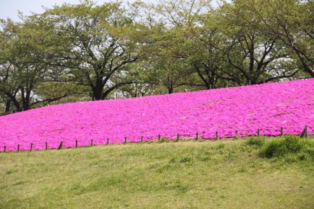
Fine windy day and lovely ride down Arakawa River & Canal