Map of the route “Cycling Japan – Chino to Takasaki”: 143,821 m, 2,768 m of climbing and 3,429 m of descent, elevation between 98 m and 2,139 m, time 12:40:28. It starts at 36.00223, 138.13292 and ends at 36.32081, 139.01109 (latitude, longitude).
Strava route details and here the pictures I took are here
Weather: Sunny all day but only 6 degrees at the top
Hotel: Toyoko Inn 1 in Takasaki
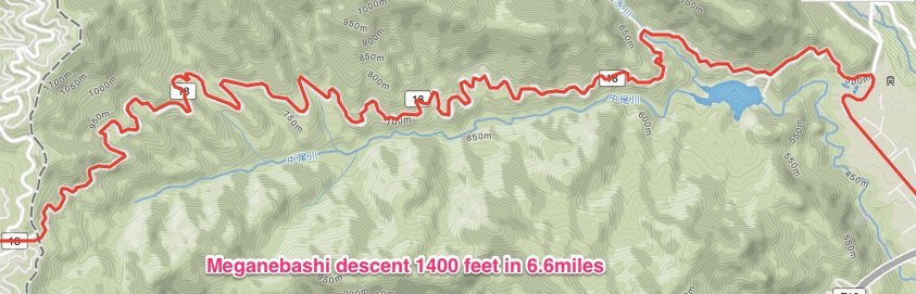
Great ride up to over 7000 feet, amazing to see really deep snow at the side of the road. The most stunning descent ever down Meganebashi Valley, 1400 feet drop in 6.6 miles down the very twisty road.